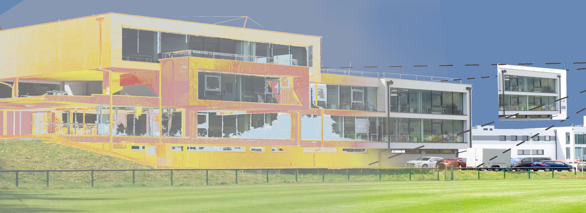
Surveying using laser scanners, TLS, MLS or ALS provides an ideal basis for 3D documentation in fields such as architecture, construction, engineering, plant design and product development. Fast and precise measurements can be carried out at the push of a button in both indoor and outdoor environments. The generated point cloud serves as the starting point for a wide range of applications:
These cookies are used by Google Analytics to collect various types of usage information, including personal and non-personal information. For more information, please see Google Analytics' privacy policy at policies.google.com/privacy Non-personal information collected is used to create reports about website usage that help us improve our websites / apps. This information is also shared with our customers / partners.
Lifetime
Several - vary between 2 years and 6 months or even shorter.